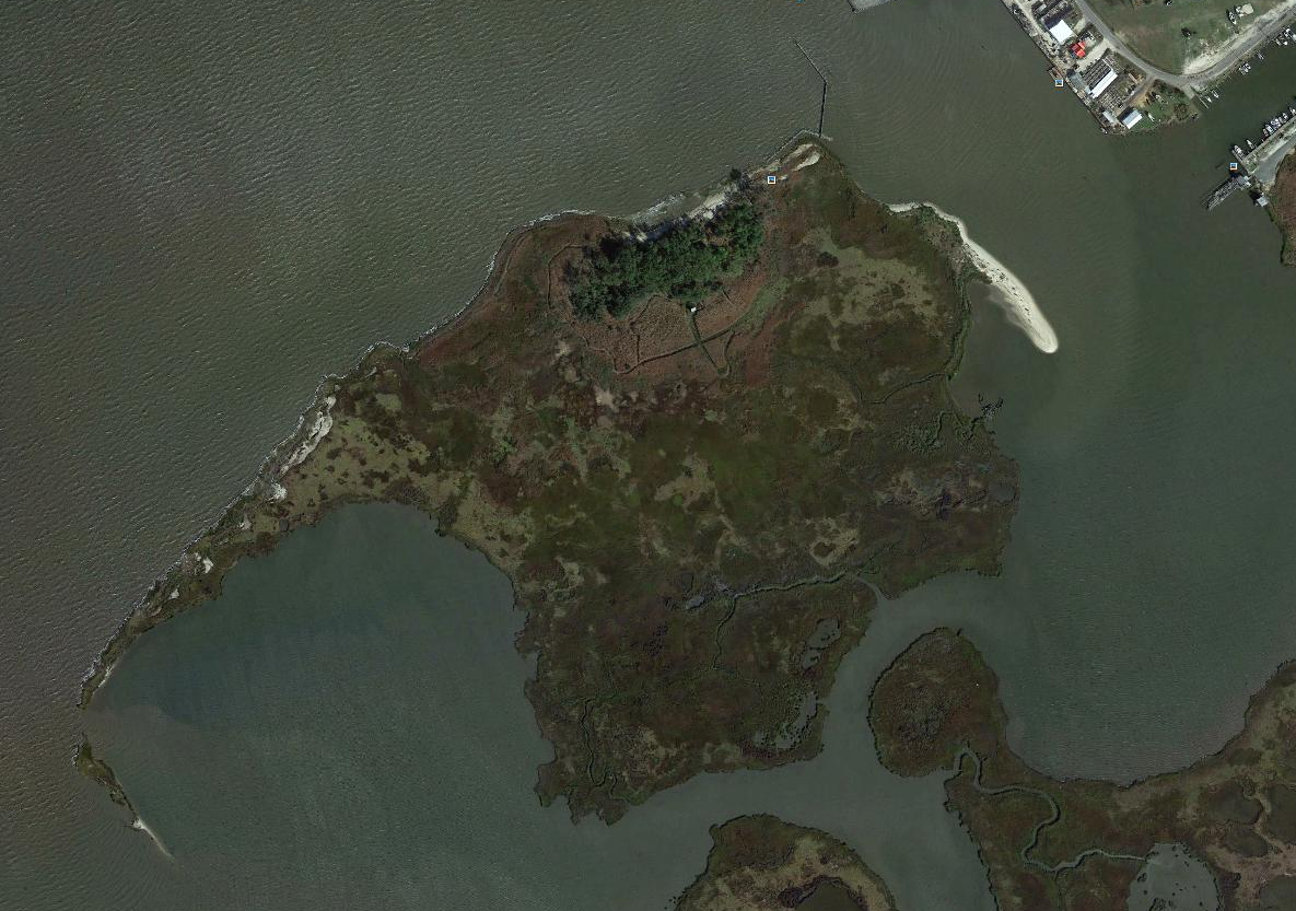
Starlings Island
In the Chesapeake Bay, just offshore of Saxis, VA


Google Earth Image, 2013
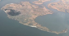


This aerial image shows Starlings Island, the Saxis Wildlife Management Area (bottom & right) and the Saxis harbor (upper right). The recently completed jetty can be seen on the top right corner of the island. The trees in the wooded area are the brighter green color.  This photo was taken in the summer while mowing was taking place. The tan area below the woods are sections of phragmites that had not been mowed yet and paths that have been mowed through the phragmites are visible. The white square at the top of the main up and down path is the storage shed.  Summer, 2013


For additional information or to schedule a visit, please send an E-mail to Dave@StarlingsIsland.com
All information contained in this listing has been gathered from reliable sources, but is not guaranteed.